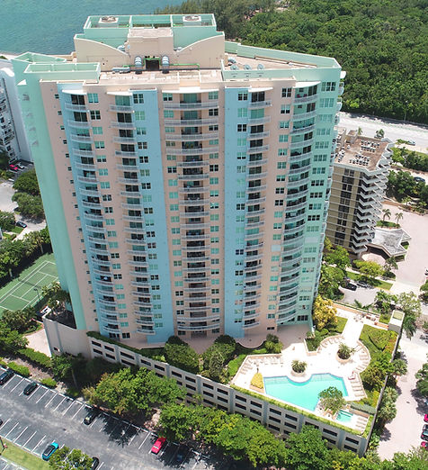
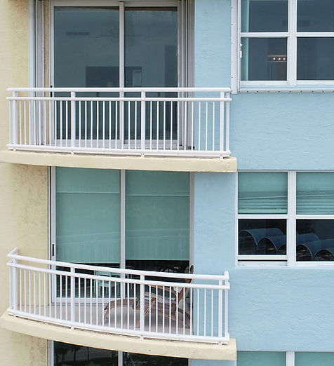
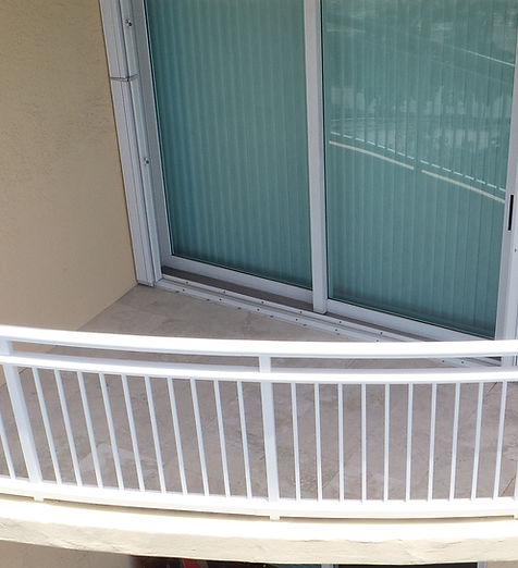
SkyData UAV provided drone services to capture vertical photographs and roof photographs of a 24-story condominium in Miami for Donan Engineering and a public insurance adjuster.
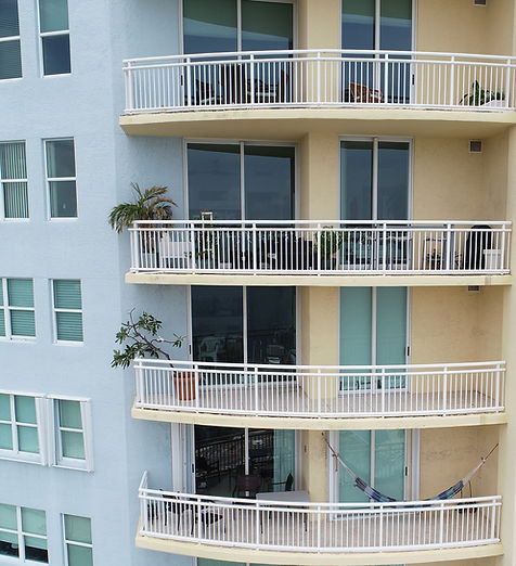
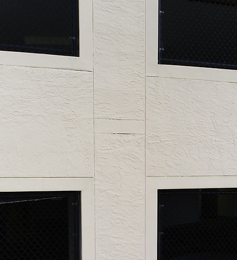
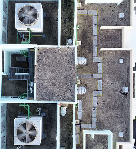
The project involved taking a series of overlapping photographs of the entire building and parking garage, close-up photographs of an area of the building that showed damage, and a detailed mosaic photograph of the condominium’s roof.