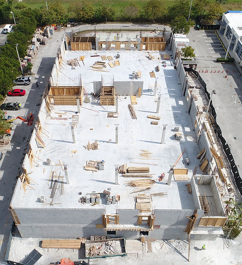
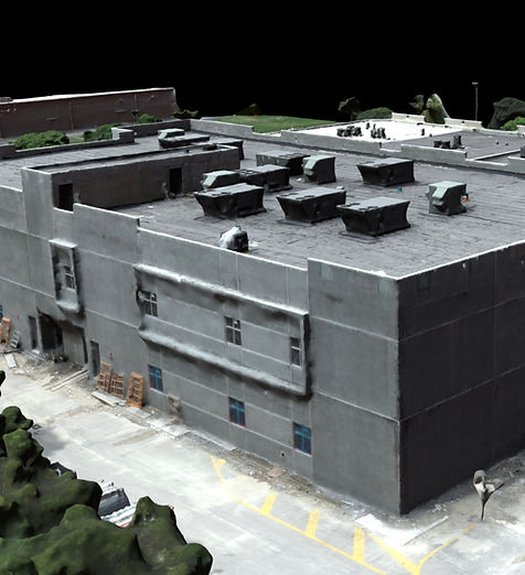
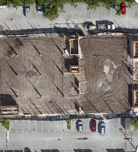
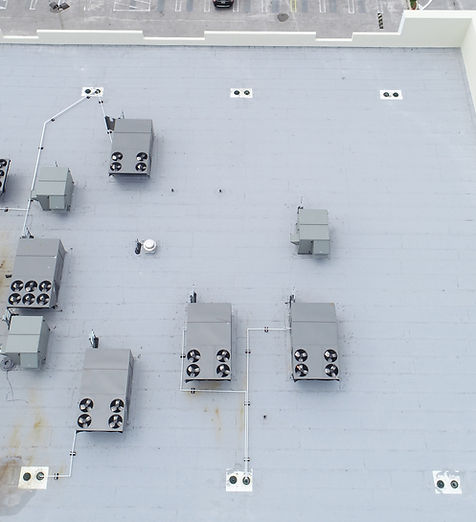
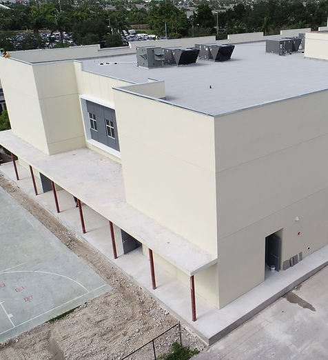
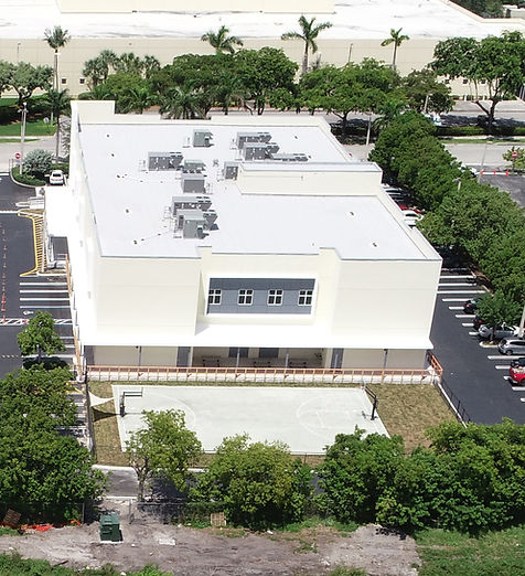
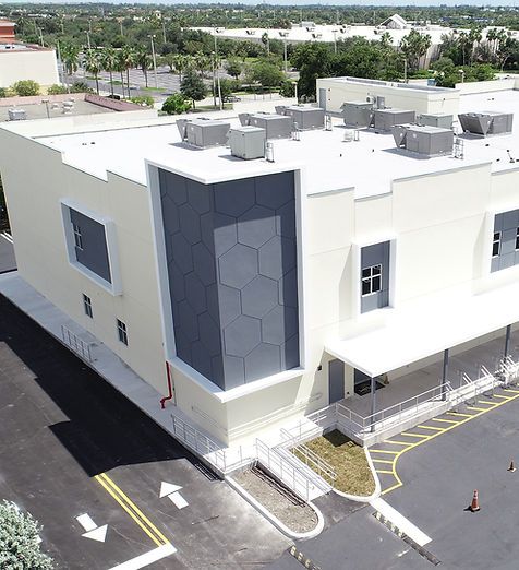
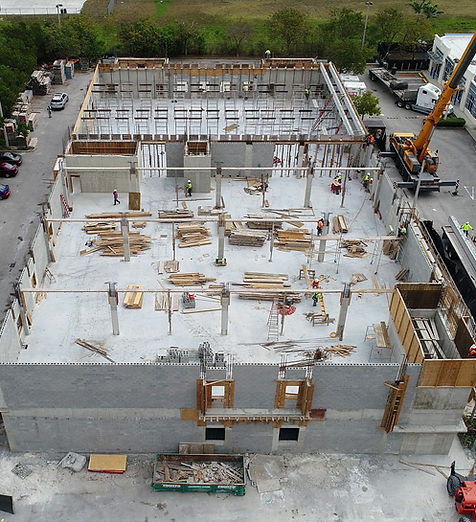
Construction Progress Photography: Hialeah Charter School
SkyData UAV flew bi-weekly drone flights for 18 months around and over a two-story charter school for Sol-Arch, a Miami design/build firm.
SkyData captured images and data to provide high-resolution and very detailed images of the construction site. The provided data was converted into files that for importing into AutoCad to measure as planned with as built.