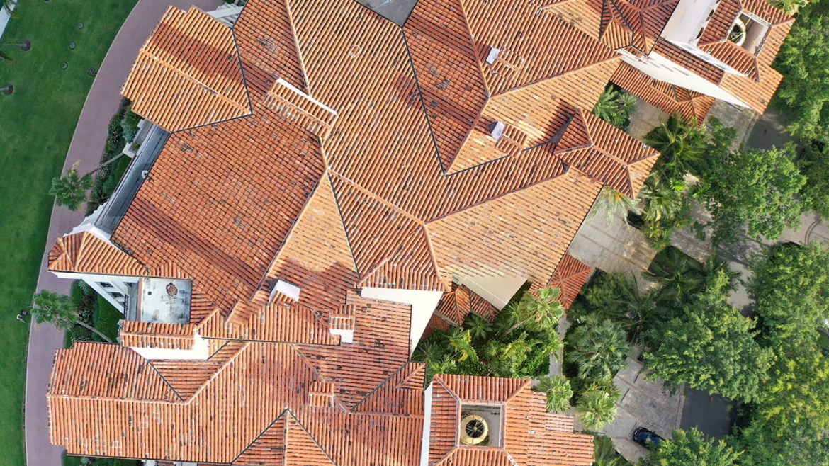


Roof Surveys
Single-family Homes • Condominiums Apartments • Retail Buildings Office Buildings • Warehouses
Roofing companies, public insurance adjusters, structural engineering firms, condominium associations and commercial building owners in Miami-Dade, Broward and Palm Beach counties have received analysis of tile, concrete, shingle, metal and flat roof damage from SkyData UAV.
A program that uses artificial intelligence backed by thousands of roof inspections analyzes drone photographs identifies and quantifies cracks, indentations, hail hits, missing shingles, blisters and other damages on sloped and flat roofs.
SkyData UAV delivers a series of 20-megapixel photographs of roofs, facias and soffits, and GPS-tagged diagrams and spreadsheets with longitude and latitude coordinates for the precise location of problem areas.
The deliverables include a report on the measurements of a roof’s:
- Square footage and individual slopes
- Pitch
- Ridges
- Hips
- Valleys
- Flashings
- Step flashings
- Rakes
- Eaves
- Drip edges

